Songkhla Lake / Wat Phra Mahathat Woramahawihan / Khao Phlai Dam / Matsee Mountain
Day 2 : Chon Buri
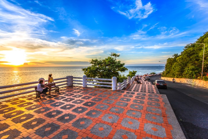
Khao Sam Muk / Bang Saen Beach
Day 3 : Chon Buri
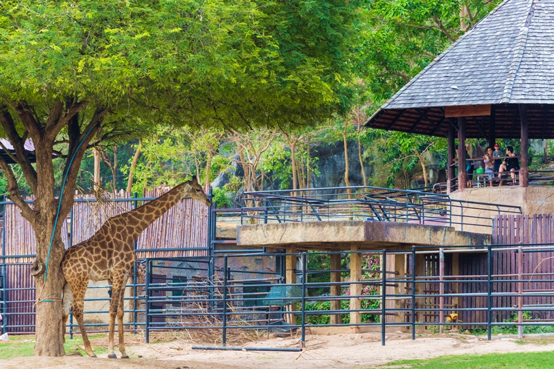
Khao Kheow Open Zoo / Ang Sila 133 Years Old Market
Day 4 : Songkhla
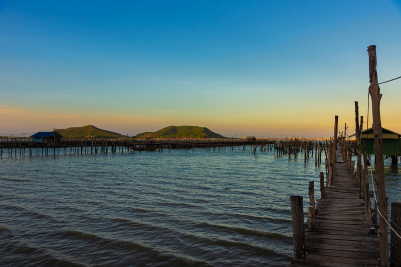
Songkhla Lake
Itinerary
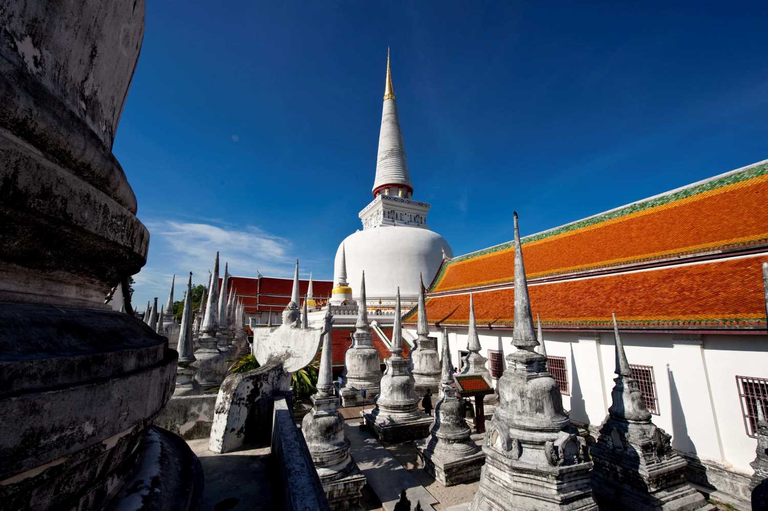
Day 1 : Songkhla / Nakhon Si Thammarat / Chumphon
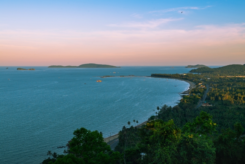
Songkhla Lake
The only natural lake in Thailand. It receives water from the Banthat Mountain Range and Sankalakhiri Mountain Range and is the point where many canals converge together before flowing into the Gulf of Thailand. The length from the estuary to the north is about 80 kilometres, and the widest part is about 20-25 kilometres.
It is a mountain next to the sea bounded to Khanom and Sichon. At present, it is wherethe site of the Wildlife Sanctuary is located. Located in Tambon Thung Sai. There are many beautiful beaches and attractions.
Bang Saen Beach is approximately 14 kilometres away from Amphoe Muang, Chon Buri. To get there, take Sukumvit Road then turn right at km.104 and continue for 3 kilometres. The beach is a popular tourist attraction for Thai people.
The only natural lake in Thailand. It receives water from the Banthat Mountain Range and Sankalakhiri Mountain Range and is the point where many canals converge together before flowing into the Gulf of Thailand. The length from the estuary to the north is about 80 kilometres, and the widest part is about 20-25 kilometres.